Ship based measurements - SOT
What do ship-based measurements cover?
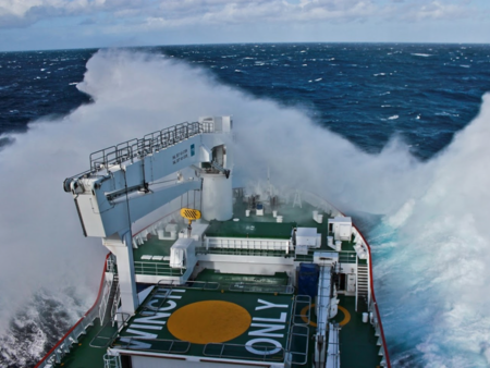
Since the days when sailing vessels were the primary vehicle for commerce and exploration, ships have observed the marine environment. Today, all types of ships make routine weather and ocean observations that are shared internationally to support research, climate forecasting, weather prediction and maritime safety services.
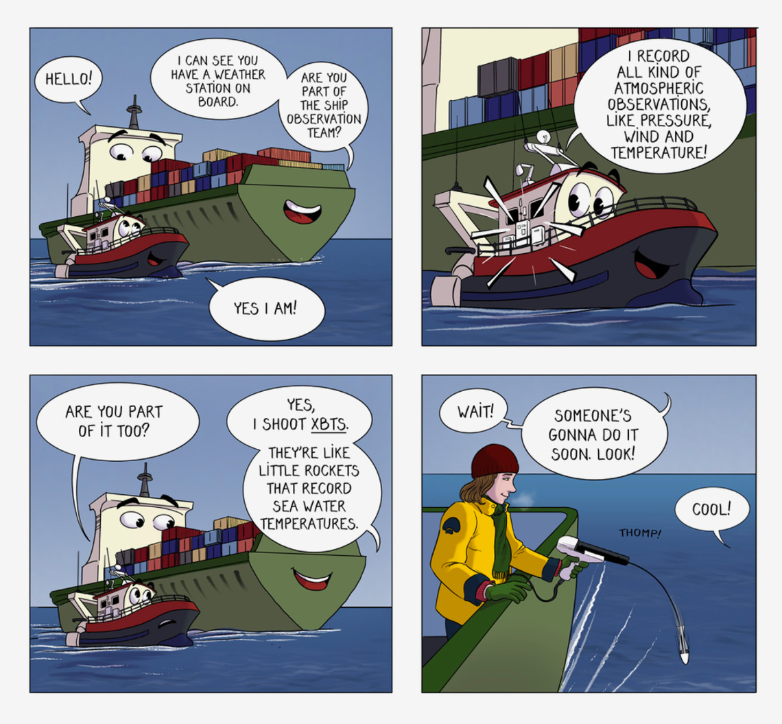
Ship-based observations include meteorological and oceanographic measurements acquired under the umbrella of the Ship Observations Team (SOT) network.
How does it work?
Different types of ships can contribute: voluntary observing ships (VOS) and participants in the ship of opportunity program (SOOP). They each have specific equipment to gather different observations.
Voluntary Observing Ships
Every day, 2,000 voluntary ships - including merchant ships, ferries, fishing vessels, sailing yachts, etc. - observe the weather at their location. Participating National Meteorological Services recruit these ships to record and transmit weather observations with loaned instruments. Today, an increasing number of Automatic Weather Stations installed on ships provide hourly meteorological observations.
A subcomponent of the VOS scheme is the Automated Shipboard Aerological Programme (ASAP). Its goal is to collect reliable marine upper-air data by launching weather balloons, to provide reliable atmospheric information in a cost-effective way, available in real-time.
Ship of Opportunity Program
SOOP ships use eXpendable BathyThermographs (XBTs). An XBT is a temperature probe that is launched manually from the bridge wing of a ship or using an automatic launcher. The probes are launched 4 to 6 times per day.
XBTs provide temperature profiles along fixed lines in the upper thousand meters of the ocean. The first XBT probes were tested in 1959, and systematic deployment of XBTs began in the mid to late 1960s. XBTs thus provide one of the longest available historical records of upper ocean temperature profiles.
They can also launch thermosalinographs, which measure salinity (by the way of conductivity) and surface temperature, or carbon dioxyde sensors.
Salinity measures how much salt is present in the sea water.
Conductivity measures a material's ability to conduct an electric current. In the sea, it is linked to how much salt there is.
What kind of ocean observations are collected?
Voluntary Observing Ships
- Sea surface temperature
- Sea level atmospheric pressure
- Surface wind speed and direction
- Significant wave height
- Air temperature
- Relative humidity
- Visibility
Ship Of Opportunity Program
- Temperature (sea surface and subsurface) - XBT
- CO2
- Water pressure
- Conductivity > Salinity
In the ocean, the water produces a certain amount of force on every object or living being inside it. It comes from the weight of water above and is called pressure. The deeper you go, the more water there is above you, the higher the pressure. Atmospheric pressure is the air pressure in a specific location. Low air pressure is called a depression and usually comes with rain.
What are the observations helping with?
Here are some examples of how the information gathered can be used.
Operational services
The observations made by all the SOT ships help map out ocean circulation. This is useful for weather and marine forecasts, as well as marine safety.
Climate change
Marine weather observations and XBT observations have a very long history and are thus highly valuable for building sturdy climate models.
The information on ocean heat content also allows a better understanding of heat storage in the ocean and water stratification.
The ocean carbon inventory is used to monitor the acidification trend. This phenomenon is a threat to marine life; for example, it makes it difficult for molluscs to grow shells.
Stratification occurs when the ocean forms layers of water that don’t mix. It blocks the flow of oxygen, nutrients and heat, threatening ocean health and preventing the ocean from playing its role in attenuating climate change.
Where can we find it?
The ships go all around the world.
SOT key numbers
- Recorded history of ocean meteorological observations: 150 years
- Number of ships in the VOS program: 2,000
- Number of XBT profiles done per year: 17,000
- XBT maximum depth: 800m
- SOT program starting year: 2001
Learn more about SOT
The Ship Observations Team (SOT) was established jointly by the World Meteorological Organization (WMO) and the Intergovernmental Oceanographic Commission (IOC) of UNESCO.
If you want to learn more about this program, visit the SOT website.

